|  Inhabitants in 1991: 1.563
 The
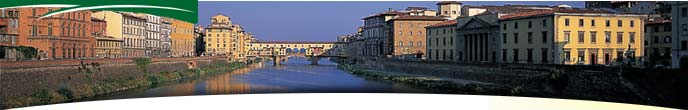
municipal territory of Zeri extends for 73,61 square kilometres in a mountainous
zone in high Lunigiana. It originated in the Dark Ages as a Lordly
centre, composed of a series of little villages whose head was the parish
church of San Lorenzo. It reached its present day extension in 1957
when the district of Arzelato was detached and aggregated to the municipality
of Pontremoli. The
municipal territory of Zeri extends for 73,61 square kilometres in a mountainous
zone in high Lunigiana. It originated in the Dark Ages as a Lordly
centre, composed of a series of little villages whose head was the parish
church of San Lorenzo. It reached its present day extension in 1957
when the district of Arzelato was detached and aggregated to the municipality
of Pontremoli.
There are finds of tombs going back to the VI century B.C. which
attest the antiquity of human settlements in the territory of Zeri,
the first written testimony which cites its name (which in ancient times
was Cerri) is from 774: it was a document stipulated to Pavia from Carlo
Magno with which the monastery of San Colombano di Bobbio obtained certain
woods situated on Monte Croce and Monte Lungo. In 1164 Emperor Federico
I recognised on Zeri, which was contested among several pretenders, the
right of Obizzo Malaspina, from whom however it was taken away in
the course of the following century by the neighbour Pontemoli, autonomous
municipality. Zeri was overwhelmed by the latter’s events, a unique
political episode of a certain importance was perhaps the proud resistance
with which they opposed the Napoleonic troops in 1796. The Restoration
assigned Zeri to the Grand Duchy of Toscana and when in 1848, together
with Pontemoli, it was ceded to the Duchy of Parma, the population expressed
strong discontent. In 1860 the year of the plebiscite, Zeri returned
to being a part of the Toscana region and became autonomous community.
In the second world war the municipal territory was hard put by the persecution
and crimes of the Nazifascists, it was the theatre of partisan
fighting.
Historical info reproduced upon authorization of Regione Toscana - Dipartimento della Presidenza E Affari Legislativi e Giuridici
Translated by Ann Mountford |